
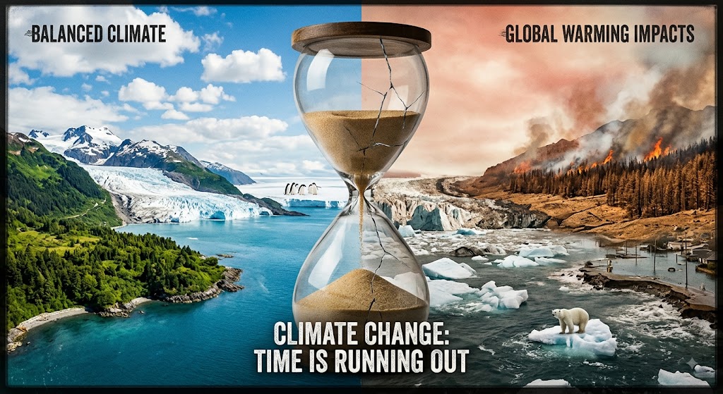
Germany’s cities and regions are already feeling the effects of a changing climate: longer and more intense heatwaves, shifting precipitation patterns, and a growing frequency of drought conditions that stress agriculture, urban greenery, and water supplies. These changes aren’t abstract projections — they show up in soil moisture readings, temperature records, and the everyday decisions municipalities have to make about planning, infrastructure, and land use.
That’s the gap InfoTool is designed to close. Climate adaptation planning requires good local data, but that data is often scattered across sensor networks, research institutions, and government agencies in formats that aren’t easy to combine or act on. By bringing together environmental monitoring, spatial data catalogs, and expert knowledge in one platform, InfoTool helps municipal planners and regional stakeholders see current conditions on the ground and make informed decisions about where and how to invest in resilience.
In the posts that follow, we’ll share updates from the Co-Site project, insights from the sensor and data tools available on this platform, and practical perspectives on climate adaptation from the researchers, experts, and stakeholders we work with.



Leave a Reply